
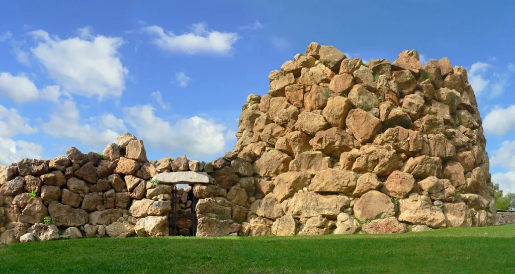

Nuraghe Arresi brings prehistory into the everyday centre of Sant’Anna Arresi. There is no need to seek it on an isolated hilltop: the present town developed around the monument, and its mass of stone stands alongside much more recent streets and buildings. This proximity raises a useful question. How can the organisation of an ancient building be understood when its upper parts have disappeared and its surroundings have changed? Start by distinguishing the two towers from the courtyard connecting them.
Two towers and an intermediate space
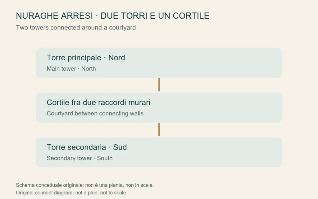
The archaeological term a tancato describes a system with a larger northern tower, a smaller southern tower and two connecting stretches of wall. Between them lies a courtyard. This is therefore more than a circular tower that can be understood from one viewpoint. Moving between permitted observation points helps reveal the relationship between the taller volume, the lower section and the masonry enclosing the central space.
The original diagram included in this article simply clarifies that relationship. It is not an archaeological survey, does not reproduce proportions or passageways and cannot replace measured documentation. In particular, the surviving size of a wall must not be mistaken for its original height. Municipal and regional descriptions explain that the chamber roofs and upper terrace no longer survive. The current silhouette reflects losses rather than the complete outline of the ancient design.

The entrance and the weight of stone
The architectural entrance lies in the eastern connecting wall and is marked by a large granite lintel. Around it, the building uses blocks of dolomitic limestone in irregular courses. The contrast between the horizontal stone above the opening and the surrounding wall blocks is readily apparent. Looking at the lintel’s supports helps explain the doorway as part of the load-bearing structure, rather than simply a gap left in the masonry.
The entrance corridor led into the courtyard, from which both towers could be approached. This sequence provides a useful order for interpreting the monument even when remaining within permitted exterior areas: first the boundary of the complex, then the passage and finally the internal circulation space. Describing an ancient route does not establish that it can be followed throughout today. Barriers, local notices and the condition of individual spaces determine how closely visitors may approach.
Niches, changes in level and missing elements
Institutional records identify a stair within the thickness of the main tower’s wall and niches in its chamber. These details reveal a more complex building than a frontal view alone might suggest. Proposed uses of small spaces as guard positions or sleeping places are functional interpretations. The presence of a recess is architectural evidence, while explaining its purpose requires an archaeological argument and should not be presented as self-evident.
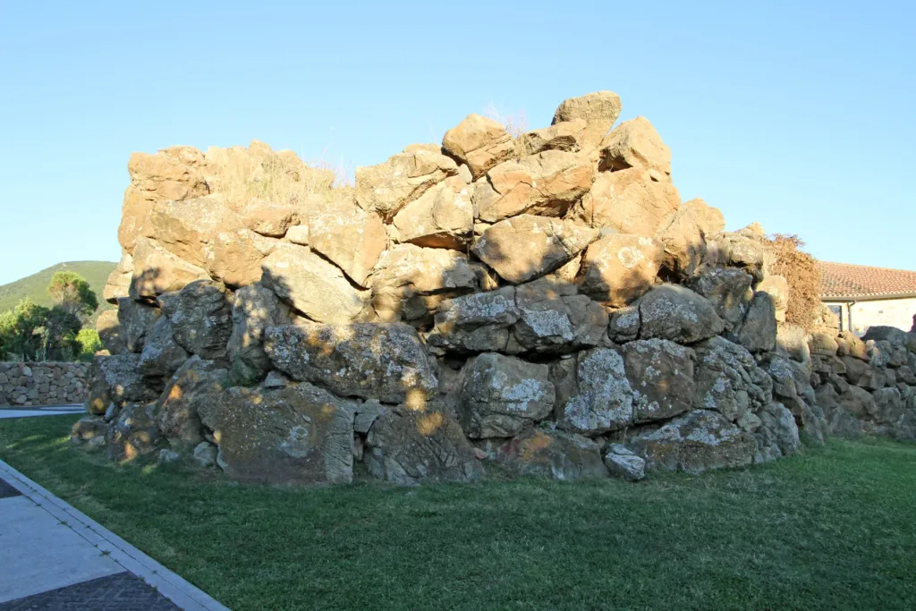
Changes in level between entrance, courtyard and chamber also prevent us from imagining a building with a single continuous floor. When observing the remains, distinguish thresholds from the bases of walls rather than climbing the masonry for a higher view. The frontal photograph already allows comparison between blocks and openings. The side view communicates the tower’s mass without pretending to reconstruct the roofs that have been lost.
Chronology involves more than one date
The municipality places construction in the Middle Bronze Age, between the fifteenth and fourteenth centuries BC. The national catalogue provides a broader chronological classification between the fourteenth and tenth centuries BC. These statements belong to their respective records and should not be merged into an invented precise date. The regional account also mentions excavation in 1974 and evidence of earlier activity at the site: an object’s age need not be the age of the standing walls.
This distinction is useful during a visit. Asking how old the place is may refer to occupation of the ground, construction of the towers or subsequent changes. Keeping those questions separate explains why archaeological records often provide ranges rather than a particular year. The nuraghe itself remains the focus here. Other settlements in the municipality should not be confused with this building merely because they belong to the same broad cultural tradition.
A stop within the town
The municipal address is Via del Nuraghe 4. The Nuraghe Arresi listing places it on the portal’s map. The municipality describes access as free, but that does not establish permanent availability of every interior space. An attentive stop can concentrate on the relationship between main tower, courtyard and entrance, following instructions on site for the actual visitor route. Its position within the town makes the time separating the Nuragic building from its present urban surroundings particularly clear.