
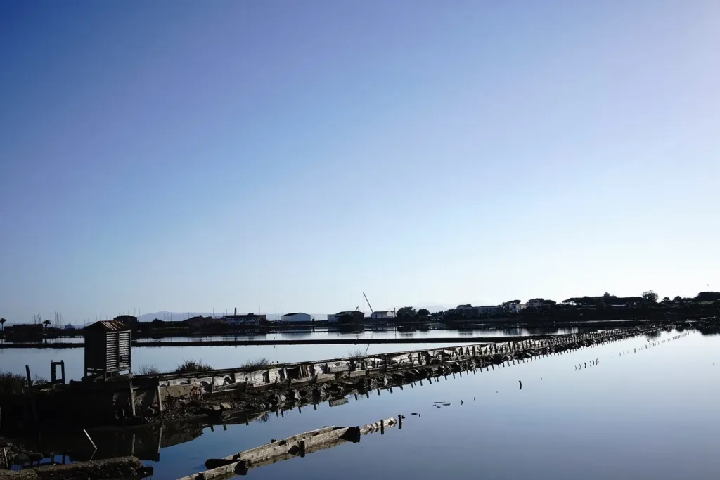

Carloforte's saltworks show how a workplace can become a landscape for wildlife observation without losing its artificial form. Basins, embankments and surviving structures are not incidental features within the wetland: they reveal its organisation. Beside the town on San Pietro island, water and land create regular surfaces that reward close attention. The history of salt and the presence of birds occupy the same space, although they reflect different periods and functions. Reading both makes this more than a scenic stretch of water.
The former Carloforte saltworks directory entry locates the basins. They should not be confused with La Salina at Calasetta on the other island: similar names identify different places. This article concerns the Carloforte complex and its close relationship with the town. Walking along its permitted perimeter offers a way to consider production, water management and landscape change together, without entering the basins or approaching the birds that use them. The edge is itself an informative place to observe.
The geometry of seasonal labour
The municipal tourism portal connects the development of modern salt production with the years following the settlement of the Tabarchine community. It describes a season beginning with preparation in spring and reaching the harvest in August and September. Work was not restricted to the moment when salt became visible. The system required preparation before collection and movement of the product afterwards. Thinking through that sequence helps identify the basins as connected parts of a productive organisation, rather than as separate pools of water.

In the official account, rakes, baskets and heaps of salt belong to a largely manual phase of production. Mechanisation from the late 1950s reduced the need for seasonal labour. Production eventually ceased in 1998. Those transitions are different: machinery changed an operation that was still active, whereas closure interrupted its productive cycle. Keeping the stages distinct avoids imagining a single moment when the entire landscape suddenly passed from work to nature. Its present appearance contains evidence of several transformations rather than just one.
Embankments and channel: understanding divisions
The photographs show bounded surfaces of water, surviving structures and perimeter paths. The subdivision of space is the first feature worth noticing. Saltworks depend on more than proximity to the sea: water must be distributed and separated in ways that serve production. Following the embankment lines makes that logic understandable even without identifying every piece of equipment. Material traces reveal a planned arrangement that continues to organise the landscape after industrial activity has ended and other uses have become more prominent.
The municipal page about the Salt Route describes the perimeter channel as a late nineteenth-century work associated with flood protection and transport of the product. The edge therefore served several purposes rather than simply enclosing the ponds. This relationship between water circulation and the movement of goods explains why the site is best considered as a connected complex. Separating a machine or section of embankment from the network around it would make the working processes that shaped the place harder to understand.
A habitat sustained by differences
The official nature-route description distinguishes three sectors of the basin with different salt concentrations. That variation contributes to a range of environments within the same complex. A regional environmental document for San Pietro includes the saltworks among Carloforte's transitional waters. Calling the entire area a pond risks oversimplifying a system in which depth, salinity and water management all matter. Surfaces that appear similar from a distance do not necessarily offer identical conditions to the organisms that use them for feeding or resting.
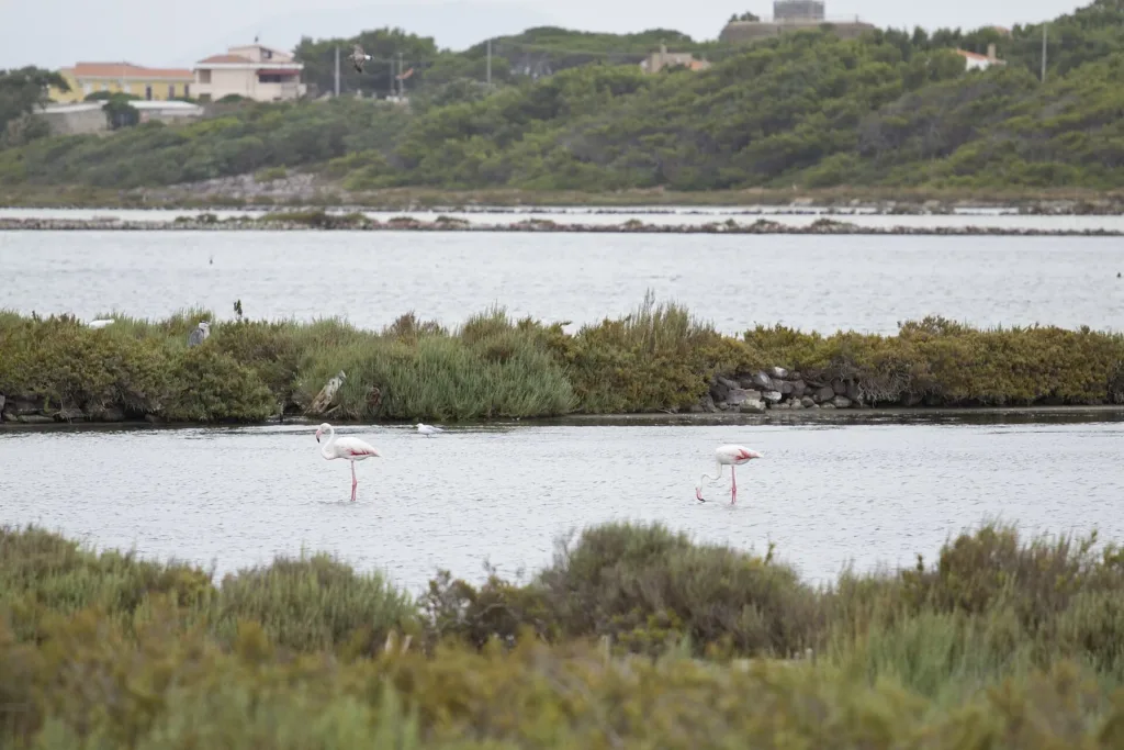
The tourism site identifies numerous bird species, including black-winged stilts, avocets and flamingos. Photographs of the latter document their presence at this location, but do not promise the same sighting on every visit. Keeping your distance and using binoculars lets the birds' movements determine what becomes visible. Moving close enough to make them leave works against the purpose of observation. It reduces the opportunity to recognise undisturbed behaviour, feeding patterns and interactions between individuals within the wetland.

Following the perimeter through time
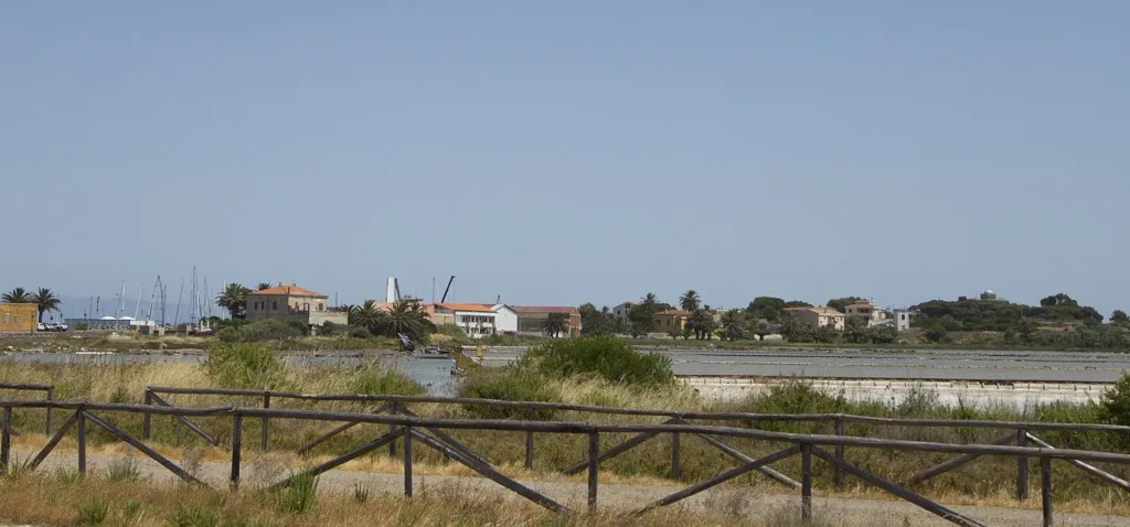
The tourist office presents the Salt Route as a path around the complex for nature observation. Follow permitted sections and signs rather than assuming every embankment is accessible. Images of disused installations document a productive past, not the opening of an industrial museum. The tourism portal discusses development proposals: a project mentioned on a webpage should not be treated as a service already operating or an indoor visit available to book. Current practical arrangements require their own confirmation.
A rewarding stop can alternate between three questions: which lines controlled water, which traces represent labour, and which animals use the basins today? Answers appear at different scales, from the overall plan to small movements across a pool. The saltworks consequently remain readable both as productive infrastructure and as habitat. Understanding the relationship makes it possible to appreciate the wetland without erasing the people who constructed and used it, and to recognise wildlife as more than a decorative addition to an industrial past.