

To understand Carbonia, look at what lies between its monuments: homes, gardens, boundary walls and the space separating one building from the next. The residential landscape answers a practical question raised by the mining town's creation: where would the people recruited to work in the new settlement live? The response took shape in different kinds of accommodation, arranged within an urban plan that also made social distinctions visible.
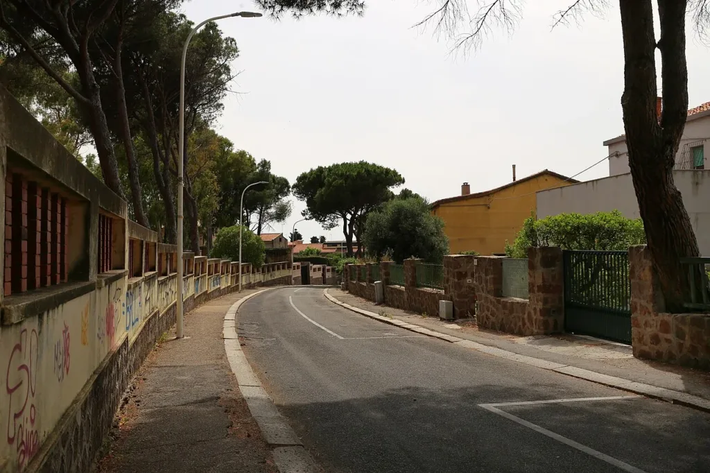
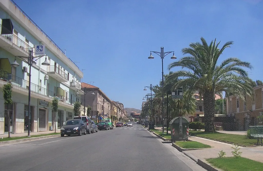
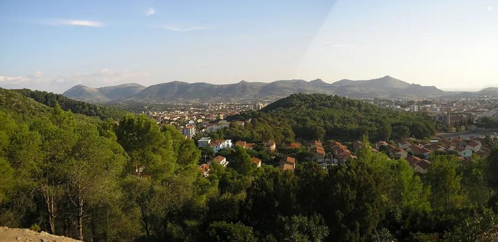
The Piazza Roma directory entry provides a geographical reference for this reading of the town, rather than the location of an individual house open to visitors. The subject is Carbonia's residential fabric. The photographs introduce three scales: a neighbourhood street, Viale Gramsci and a wider townscape. They do not identify the former occupants of individual buildings or imply that private homes are visitor attractions.
Housing and a person's position at work
The Municipality's historical account describes a hierarchy of residential locations, with managers and office staff in central areas and workers in more peripheral neighbourhoods. It also identifies hostels intended for unmarried workers. A person's relationship with the mining enterprise therefore influenced accommodation as well as employment. Providing enough rooms was only part of the task: the plan distinguished professional positions, household circumstances and different forms of residence within the settlement.

These distinctions make terminology important. Calling every historic building a “miner's house” would be too simple. Family accommodation, residences for senior staff and collective lodging answered different requirements. The municipal guide published in 2011 also describes the contribution of vegetable plots and gardens to domestic life. Outdoor space could therefore serve a practical purpose alongside the visual qualities appreciated by somebody walking through the neighbourhood today.
What a garden city means here
The Municipality's interpretive material on housing connects the initial layout with garden-city models: relatively low buildings, generous plots and tree-lined roads. Space between buildings was part of the design, rather than an accidental gap awaiting construction. To recognise this principle, look at the house together with its surrounding land. A photograph concentrating exclusively on the facade would remove the very relationship that helps explain this form of residential planning.
In the neighbourhood street photograph, trees and boundary walls lead the eye around a bend. Vegetation partly conceals the houses, which stand back from the route. The scene is useful for thinking about the boundary between public movement and domestic space. The neighbourhood can be experienced while walking, yet it retains thresholds, entrances and private areas. Greenery does not erase these divisions; it helps give them a visible form.
Materials and increasing density
The regional account of Carbonia as a planned town highlights local materials and restricted use of iron within the autarchic economy. Construction choices should therefore be read in relation to available resources, as well as visual preferences. Stone, rendered surfaces and the scale of the buildings contribute to the appearance of the housing. Looking from the street, however, cannot establish the date of every alteration or identify construction concealed beneath a finished surface.
The municipal housing documentation also describes the introduction of multi-family and multi-storey buildings during expansion. It notes attention to sunlight and the use of recessed loggias within the building volume. These arrangements responded to growing housing demand: accommodating more households changes the relationship between road, dwelling and open space. Earlier forms do not necessarily disappear when new ones arrive. An urban landscape can preserve solutions created for different phases alongside one another.

Reading a town where people still live
The Viale Gramsci photograph offers a different scene from the quieter neighbourhood street: a long perspective, palm trees, traffic and taller buildings. The panorama widens the view again, making the relationship between housing and surrounding hills easier to see. Comparison is not a way of declaring every structure original. It helps reveal different densities, heights and edges without forcing the entire town into a single visual model of its past.
The ATRIUM cultural route places Carbonia within a discussion of twentieth-century authoritarian heritage and its contemporary interpretation. Housing gives this discussion a particular focus: buildings are historical evidence and, at the same time, settings for everyday life. Observe them from public routes, without entering gardens or photographing domestic interiors through windows. A useful question to carry along the street is how the original plan and present needs coexist within the same neighbourhood. The relationship between those two realities makes the history of housing something that remains visible in the lived town.