
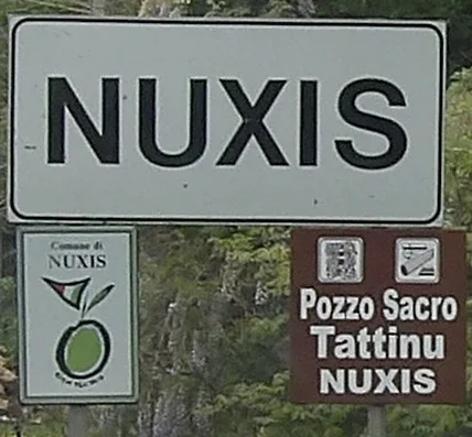

The sacred well of Tattinu, in the municipality of Nuxis, stands out both for what is missing above ground and for the way its architecture leads towards water. SardegnaCultura notes the absence of a vestibule and visible above-ground structures, while the stairway and well chamber form a notably compact arrangement. Three elements provide a useful introduction to this Nuragic monument: the descending route, the shape of the water chamber and the pottery recovered through archaeological investigation.
A stairway leading directly to the water
The regional description counts twenty-eight or twenty-nine steps and gives a combined length of just over eight metres for the space formed by the staircase and water chamber. Its width is a little more than one metre. These dimensions suggest a narrow, elongated approach. The slight variation in the published step count should remain visible in an account of the site, rather than being replaced with a certainty that the source itself does not claim.
The lack of a vestibule sets Tattinu apart from the more familiar appearance of some Sardinian water sanctuaries. It does not automatically imply that an impressive entrance façade once stood here and has disappeared. SardegnaTurismo stresses that further excavation may be needed to explain some of the construction's unusual features. Understanding the monument therefore requires a distinction between the surviving arrangement and any reconstruction that would need additional archaeological or architectural evidence.
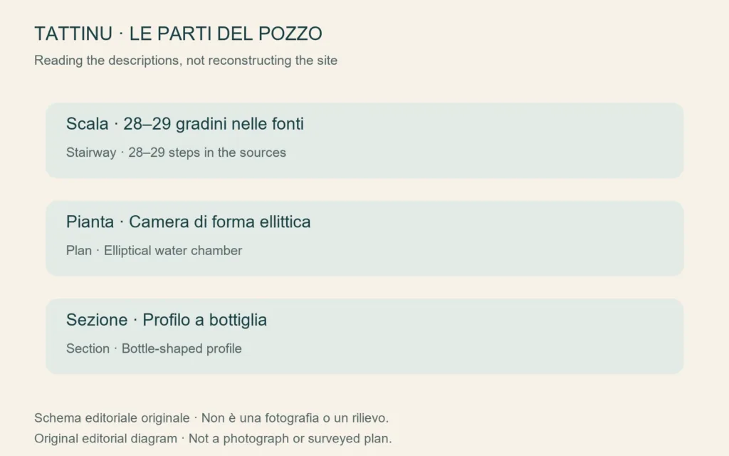
Elliptical in plan, bottle-shaped in section
The well itself is described as elliptical in plan and bottle-shaped in vertical section. These terms refer to different views: a plan looks down on the outline, whereas a section reveals the changing profile through its height. The chamber is approximately five metres high. SardegnaTurismo describes a tholos covering and limestone blocks used with smaller stones. Together, these details explain why a photograph of the steps alone cannot communicate the complete form of the underground structure.
The tourism authority also mentions a double lintel interpreted as a later reinforcement, possibly connected with structural movement. That qualification matters. Identifying a modification is not the same as knowing precisely what caused it. The original diagrams accompanying this article likewise distinguish the features described in the sources without claiming to reproduce a measured survey. They do not reconstruct a lost entrance or show an imagined original appearance as if it were established fact.
Dating through pottery
The finds listed in the site's description are ceramic vessels, including rounded jars, smaller pots, bowls and dishes with differences in handles, rims and profiles. Their attribution to the Final Bronze Age contributes to the chronology of activity at Tattinu. For a reader unfamiliar with archaeological methods, this offers an important perspective: relatively small and sometimes fragmentary objects can provide chronological evidence that the size or visual impact of a stone monument cannot supply on its own.
The cultural heritage description identifies these finds as votive offerings. This supports the interpretation of Tattinu as a place associated with water worship, but it does not allow a particular ceremony to be narrated as an observed event. The information considered here does not establish the participants' identities, spoken words or a complete sequence of ritual actions. The starting point is the documented relationship between the structure and the recovered materials, rather than a scene imagined around them.
A sanctuary within a wider settlement
The well should not be understood as an isolated object in the landscape. Regional sources connect it with a village containing huts of different ground plans. SardegnaTurismo places the settlement traces a short distance south of the sacred area. Looking at the water structure together with the habitation area changes the scale of interpretation: attention shifts from one entrance to an archaeological landscape where different buildings may have served different needs within the community.
SardegnaCultura records investigations in 2002 and 2003 carried out by Fabio Nieddu under the scientific direction of Vincenzo Santoni for the heritage authority. Those modern dates belong to the history of research, not the construction of the Nuragic well. The nearby church of Sant'Elia di Tattinu belongs to a separate historical discussion and has its own article. Geographical proximity should not collapse two different monuments into a single narrative.
Using location information carefully
The regional directions approach from the SS 293 at Is Pittaus, follow the turning towards Sant'Elia and then describe another junction towards Tattinu. The cultural heritage page describes the site as unmanaged. That is not a guarantee that every path or the descending staircase is accessible. Check local conditions before setting out, and do not enter unsecured underground spaces or climb the ancient masonry simply because a visitor entrance is not supervised.
This article uses the Nuxis municipal reference point for geographical sorting, rather than a claimed entrance coordinate for the well: published online location records do not agree. The cover photograph also shows Nuxis signage referring to Tattinu, not the monument itself. Making those distinctions explicit helps identify the correct municipal area without presenting an approximate orientation point as precise navigation to an archaeological entrance.