

Acquaresi, in the municipality of Iglesias, offers several different ways to understand a mining landscape. A small church, an inscribed memorial stone, a photograph of a locomotive and scientific studies of the ground all provide evidence. None tells the whole story independently. Read together, they show how extraction, transport and community life transformed a valley, leaving consequences that continued after production stopped.
The Acquaresi mining-fracture directory entry locates the area on the portal. This point is a geographical reference, not a tourist entrance or an authorised walking route towards the collapsed ground. Documents and photographs are a useful starting point for understanding the place. A marker on a map should not be interpreted as an invitation to approach underground openings or the edges of subsidence features.
Ore needed a route to the sea
The Cammino Minerario di Santa Barbara Foundation records the opening of the electric railway between Scalittas and Cala Domestica in October 1904. Approximately 4.8 kilometres long, with a track gauge of 600 millimetres, it carried ore towards the coast. The material was then loaded onto boats bound for Carloforte. This made the railway one part of a longer transport chain, rather than a passenger service.
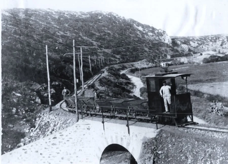

The historical photograph shows a small locomotive and wagons crossing a masonry bridge. Wires and poles make the electrical infrastructure visible, while the train's size helps explain the scale of its industrial task. It is evidence of a system that has disappeared, not a visitor train operating today. The Foundation states that the railway was dismantled after the Second World War, so historical operating details cannot be used to plan a present-day rail journey.
What lay beneath the valley
A study published by Manca, Desogus and Orrù in 2014 describes lead and zinc sulphides hosted in limestone at Acquaresi. The ore body developed mainly along a north-south direction and was worked underground. This geometry helps explain why a mine cannot be understood solely through its surface buildings. A substantial part of its organisation, including the spaces created by extraction, remains hidden from ordinary view.
The research also considers the relationship between those voids and the management of residues from mineral processing. This is a technical problem: any material proposed for filling requires examination of its behaviour and environmental compatibility. The paper investigates a possible rehabilitation approach. It does not, simply by existing, demonstrate that the proposed work was carried out or establish the current condition of the site.
Understanding changes at ground level
A contribution by researchers from the University of Cagliari and IGEA, available through ISPRA, examines subsidence events between 1991 and 2003. It relates ground failures to the interaction between mined voids and the properties of the surrounding rocks, and describes monitoring of movements and vibrations. In this context, subsidence concerns lowering or collapse at the surface linked to processes taking place below it.
An opening should therefore not automatically be interpreted as a natural cave. Nor does a slope that appears motionless establish that the ground is stable. Photographs record an appearance at a particular time, while technical assessment depends on measurements and knowledge of underground conditions. For visitors, the practical response is to respect fences, restrictions and management instructions instead of entering closed mining areas in search of a viewpoint.

People behind the industrial traces
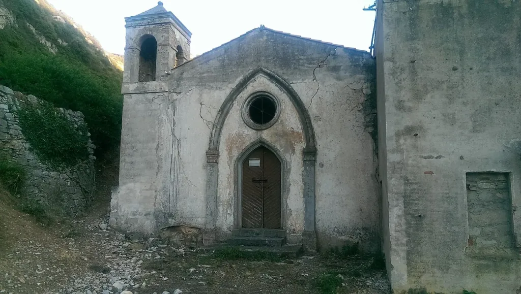
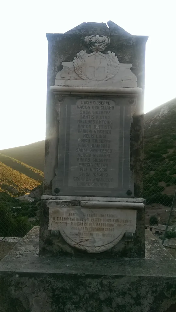
The two photographs taken in 2015 show Sant'Antonio church and an inscribed memorial stone. They introduce another dimension beyond tunnels and transport equipment: community and remembrance. A religious building and a commemorative inscription remind us that production also involved relationships, loss and collective recognition. They do not, on their own, allow individual biographies or causes of death to be reconstructed.
Acquaresi is best approached by keeping work, connections and ground change within the same account. The training of mining technicians is a separate subject, explored in the article about the Asproni Institute. Here the focus remains on the traces of an industrial valley: the ingenuity involved in moving ore and the complicated physical and human inheritance left by extraction.